Your Cart is Empty
Customer Testimonials
-
"Great customer service. The folks at Novedge were super helpful in navigating a somewhat complicated order including software upgrades and serial numbers in various stages of inactivity. They were friendly and helpful throughout the process.."
Ruben Ruckmark
"Quick & very helpful. We have been using Novedge for years and are very happy with their quick service when we need to make a purchase and excellent support resolving any issues."
Will Woodson
"Scott is the best. He reminds me about subscriptions dates, guides me in the correct direction for updates. He always responds promptly to me. He is literally the reason I continue to work with Novedge and will do so in the future."
Edward Mchugh
"Calvin Lok is “the man”. After my purchase of Sketchup 2021, he called me and provided step-by-step instructions to ease me through difficulties I was having with the setup of my new software."
Mike Borzage
Top 5 Features of RhinoTerrain for Advanced Terrain Modeling in Architecture and Engineering
December 08, 2024 5 min read


In the fields of architecture, engineering, and construction, advanced terrain modeling plays a critical role in design and planning processes. Accurate and detailed terrain models are essential for creating realistic simulations, evaluating environmental impacts, and ensuring the feasibility of construction projects. RhinoTerrain is a powerful plugin for Rhino 3D that significantly enhances terrain modeling capabilities, providing professionals with advanced tools to generate, analyze, and manipulate complex terrain data.
High-Resolution Digital Elevation Model (DEM) Generation
Importing Diverse Data Sources
RhinoTerrain excels in its ability to import a wide range of data sources, making it a versatile tool for terrain modeling. It supports LiDAR data, point clouds, and traditional survey data, allowing professionals to work with the most accurate and detailed inputs available. The plugin accepts various file formats such as LAS, ASCII, and XYZ, ensuring compatibility with industry-standard datasets. This flexibility enables users to incorporate diverse information into their projects, enhancing the precision and richness of the resulting terrain models.
Accurate DEM Creation
Once the raw data is imported, RhinoTerrain provides powerful tools to generate precise Digital Elevation Models (DEMs). It utilizes advanced algorithms for interpolation and noise reduction, ensuring that the resulting terrain surfaces accurately represent the actual landscape. The software intelligently processes input data to create smooth and continuous surfaces, effectively handling irregularities and gaps. This capability is crucial for producing reliable models used in detailed analyses and simulations.
Editing and Refinement Tools
RhinoTerrain offers an array of editing and refinement tools that allow users to fine-tune their terrain models. These tools enable smoothing, trimming, and modifying DEMs to meet specific project requirements. Users can perform manual adjustments to enhance accuracy, correcting any anomalies or errors that may have arisen during data import or processing. This hands-on control ensures that the terrain models are not only precise but also tailored to the unique needs of each project.
Advanced Contouring and Topographic Analysis
Automated Contour Line Generation
Generating contour lines is a fundamental aspect of terrain analysis, and RhinoTerrain automates this process with precision and efficiency. Users can create contour lines at user-defined intervals, allowing for detailed representation of elevation changes. The software provides customizable styling options for line weight, color, and labeling, enabling users to produce contour maps that meet specific aesthetic and informational requirements. This automated process saves time and reduces potential errors associated with manual contouring.
Slope and Aspect Mapping
Understanding slope gradients and orientations of terrain is critical for various planning and design activities. RhinoTerrain can produce visual representations of slope gradients and orientations, assisting professionals in identifying critical areas for drainage or construction. These maps highlight areas of steep gradients or specific orientations, providing valuable insights for site development and environmental management. Having this information readily available facilitates informed decision-making and enhances project outcomes.
Terrain Profiling
RhinoTerrain enables users to extract cross-sectional profiles along specified paths, a feature highly useful for infrastructure planning and environmental impact assessments. By analyzing these profiles, engineers and designers can evaluate the feasibility of proposed routes for roads, pipelines, or other linear structures. Terrain profiling provides detailed information on elevation changes along a path, aiding in the optimization of designs and the identification of potential challenges early in the planning process.
Seamless GIS Integration and Georeferencing
Import/Export of GIS Data
RhinoTerrain is compatible with common GIS formats like SHP, GeoTIFF, and DWG, facilitating data exchange between RhinoTerrain and GIS platforms. This interoperability allows users to integrate geospatial data into their terrain models and export their models for use in other GIS applications. The ability to work across different software environments enhances collaboration and ensures that all stakeholders have access to the most up-to-date and accurate information.
Coordinate System Management
Effective coordinate system management is essential for accurate placement and alignment of terrain models. RhinoTerrain supports a wide range of global and local coordinate systems, enabling users to work with geographically accurate data. This feature ensures that terrain models are correctly positioned in space, which is crucial for projects requiring precise geospatial alignment. Users can easily switch between coordinate systems or customize settings to match specific project requirements.
Geospatial Data Alignment
When working with multiple datasets that have differing projections, alignment can be a significant challenge. RhinoTerrain addresses this by providing tools that merge multiple datasets with differing projections. This capability ensures consistency and accuracy in large-scale projects, allowing users to align geospatial data from various sources seamlessly. By ensuring all data layers are correctly aligned, professionals can create comprehensive models that accurately reflect real-world conditions.
Efficient Handling of Large-Scale Terrain Data
Optimized Processing Algorithms
Handling large-scale terrain data can be computationally intensive, but RhinoTerrain utilizes optimized processing algorithms to manage this effectively. The software can handle millions of data points without significant performance loss, thanks to its use of multi-threading and efficient memory management. This means users can work with extensive datasets in real time, streamlining workflows and increasing productivity.
Level of Detail (LOD) Control
RhinoTerrain provides Level of Detail (LOD) control, allowing users to adjust model complexity based on zoom level or area of interest. This feature improves visualization and editing performance by simplifying the model where high detail is not necessary and maintaining detail where it is essential. LOD control is particularly useful when dealing with expansive terrains, ensuring resources are allocated efficiently without compromising crucial details.
Data Simplification Techniques
To facilitate easier handling and sharing of terrain models, RhinoTerrain offers data simplification techniques such as decimation and mesh optimization. These methods reduce file sizes by decreasing the number of polygons or data points while maintaining essential features of the terrain. Simplifying data enhances usability, especially when models need to be transferred between different software or hardware systems with varying capabilities.
Integration with Rhino's Advanced Modeling Tools
Unified Workflow within Rhino
One significant advantage of RhinoTerrain is its unified workflow within Rhino. Users can access all terrain modeling tools without leaving the Rhino environment, enabling seamless integration of terrain models with architectural elements. This integration enhances efficiency, as users do not need to switch between different applications to complete their projects. The ability to work within a single platform accelerates the modeling process and reduces the learning curve for new users.
Compatibility with Other Plugins
RhinoTerrain is designed to work alongside other powerful Rhino plugins, broadening its functionality. It is compatible with Grasshopper for parametric modeling, allowing users to create dynamic, responsive models driven by parameters and algorithms. Integration with VisualARQ adds BIM functionalities, facilitating more comprehensive project planning and documentation. This compatibility ensures that users can leverage multiple tools simultaneously to achieve complex project goals.
Customization and Automation
For professionals seeking to tailor their tools to specific project needs, RhinoTerrain supports scripting in RhinoScript or Python. This allows for task automation and the creation of custom tools and workflows. Users can develop scripts to automate repetitive tasks, enhance existing functions, or even create entirely new functionalities. This level of customization empowers users to optimize their processes and achieve more efficient results.
In summary, RhinoTerrain significantly enhances advanced terrain modeling by providing a suite of powerful features tailored for professionals in architecture, engineering, and construction. Its ability to import diverse data sources and generate high-resolution DEMs ensures that users can work with the most accurate terrain representations. Advanced contouring and topographic analysis tools, along with seamless GIS integration, facilitate comprehensive analysis and planning. Efficient handling of large-scale terrain data and integration with Rhino's advanced modeling tools streamline workflows and enhance productivity. By integrating RhinoTerrain into their professional workflows, designers, engineers, and architects can achieve improved accuracy and efficiency, leading to superior project outcomes. Embracing these features will empower professionals to tackle complex terrain modeling challenges with confidence and precision.
Also in Design News

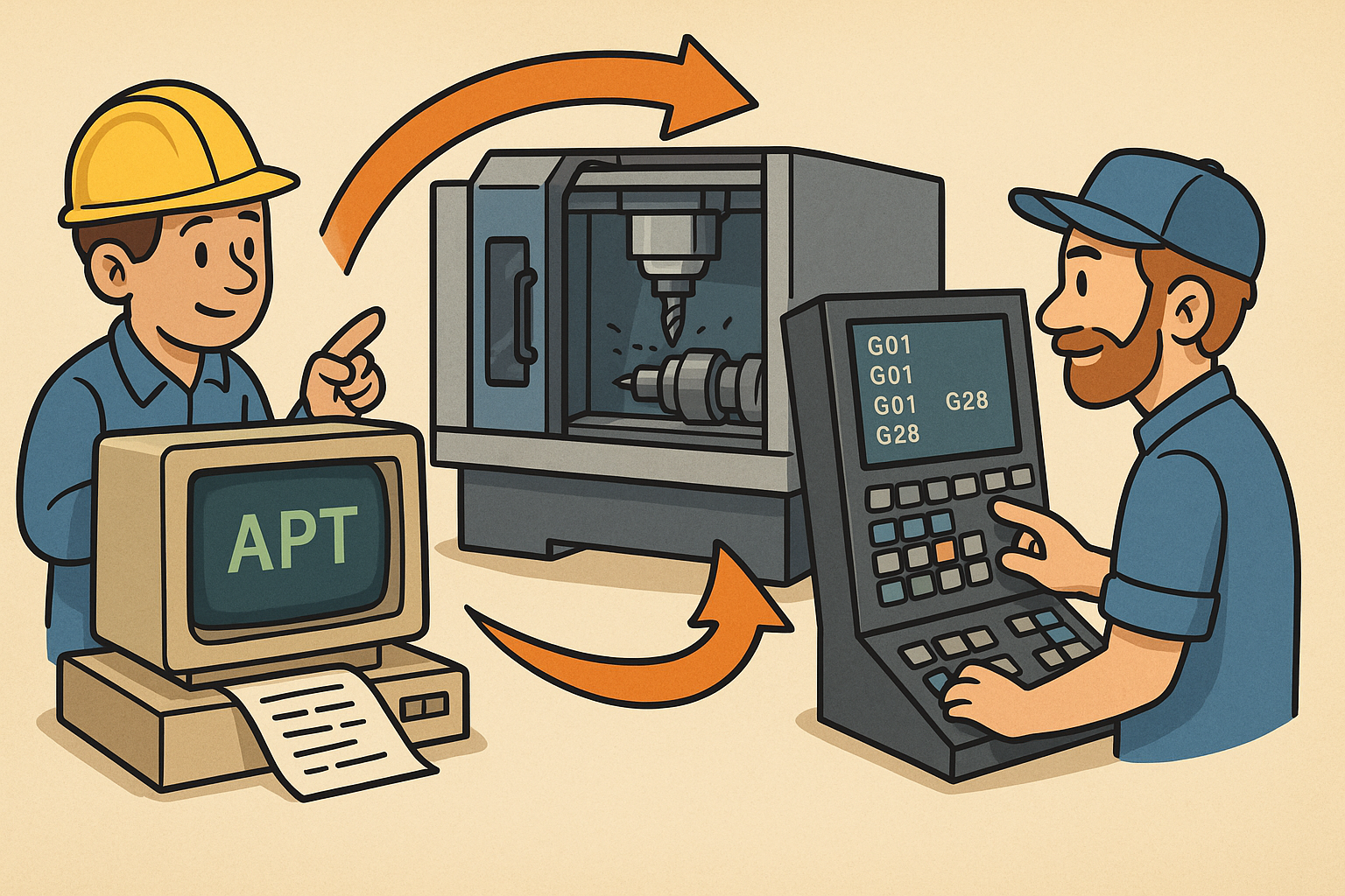
Design Software History: APT to G‑Code Dialects: The Evolution and Persistence of Vendor‑Specific CNC Post‑Processing
January 06, 2026 11 min read
Read More
Real-time CFD for Design Reviews: Progressive Solvers, GPU Pipelines, and Uncertainty-Aware Collaboration
January 06, 2026 12 min read
Read More
Cinema 4D Tip: Weight Manager Workflow for Fast, Stable Character Skinning
January 06, 2026 2 min read
Read MoreSubscribe
Sign up to get the latest on sales, new releases and more …


