Your Cart is Empty
Customer Testimonials
-
"Great customer service. The folks at Novedge were super helpful in navigating a somewhat complicated order including software upgrades and serial numbers in various stages of inactivity. They were friendly and helpful throughout the process.."
Ruben Ruckmark
"Quick & very helpful. We have been using Novedge for years and are very happy with their quick service when we need to make a purchase and excellent support resolving any issues."
Will Woodson
"Scott is the best. He reminds me about subscriptions dates, guides me in the correct direction for updates. He always responds promptly to me. He is literally the reason I continue to work with Novedge and will do so in the future."
Edward Mchugh
"Calvin Lok is “the man”. After my purchase of Sketchup 2021, he called me and provided step-by-step instructions to ease me through difficulties I was having with the setup of my new software."
Mike Borzage
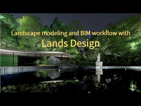
Landscape Architecture Revolutionized: Unveiling the Power of BIM Workflow and LANDS DESIGN Software
December 05, 2023 3 min read

Landscape Architecture Revolutionized: Unveiling the Power of BIM Workflow and LANDS DESIGN Software
The integration of Building Information Modeling (BIM) within the field of landscape architecture has significantly advanced the way professionals approach design and project management. The LANDS DESIGN software, a comprehensive BIM solution for landscape architecture, embodies this evolution by delivering a robust set of tools for 2D drawing and 3D modeling, while facilitating the generation of plant lists, material schedules, and various documentation essential for successful project execution.
LANDS DESIGN is utilized not only by landscape architects but also by civil engineers, urban planners, and environmental project managers. Its extensive plant database, which includes over 8,000 plant species complete with botanical information, has become an indispensable resource. The database's advanced filtering capabilities allow users to select suitable plant species based on numerous parameters such as climate, soil type, plant type, and aesthetic considerations like flower color.
One of the hallmarks of LANDS DESIGN is its versatility in representation. Users can toggle between conceptual, detailed, and realistic display modes with ease, capturing the project's design intent across various stages. Additionally, the software allows for the observation of seasonal changes within the project landscape, adding a dynamic layer to the visualization process.
Switching between 2D and 3D modes in LANDS DESIGN is seamless, reinforcing the software's adaptability. The ability to insert plants individually or through methods such as paint mode, converting points to plant species, or creating rows and groups using the Forest command, exemplifies the software's sophistication and user-centric design.
Another prominent feature of LANDS DESIGN is its powerful terrain modeling tools, which enable the creation and modification of terrains using control points and various commands, supporting site analysis and planning. The software also offers the capability to import terrain data from point clouds or digital elevation models, including data from LiDAR file formats.
For those without topographical information, LANDS DESIGN facilitates the importation of terrain directly from the web, including satellite images and 3D building data. This feature is particularly beneficial for rapid site context understanding and integration into design models.
LANDS DESIGN's dynamic documentation tools are equally compelling. Users can generate lists of plant species, zones, and materials, add images of plants, and produce layouts, plans, and sections. The software's parametric landscape tools, such as walls, curbs, stairs, and fences, as well as a library for landscape furniture, further enhance design capabilities. Additionally, LANDS DESIGN includes irrigation tools, enabling the design and documentation of irrigation systems.
Visualization tools in LANDS DESIGN are multifaceted, offering walk mode, virtual simulation, sun and shadow analysis, and various rendering possibilities. Users can produce high-quality renderings using the native Rhino render or enhance visuals with compatible render engines like V-Ray, Enscape, or Lumion.
LANDS DESIGN is available for use with AutoCAD, Civil 3D, and Rhino, providing a comprehensive BIM toolset that enhances documentation, visualization, and collaboration. Users can export their projects to IFC and access them in other BIM programs or utilize LANDS DESIGN within a Revit workflow.
The software supports parametric design through Grasshopper, allowing the creation of complex geometries and data-driven design. It also offers environmental analysis capabilities, enabling users to perform automated analyses such as CO2 sequestration calculations and solar radiation assessments.
In the BIM workflow, LANDS DESIGN streamlines the design process, allowing for terrain importation, zone definition, vegetation insertion, hardscape tool application, and the generation of lists and documentation with a single click. The software's compatibility with Rhino, AutoCAD, Civil 3D, and Revit ensures that users can employ the most advanced tools for their landscape architecture projects.
LANDS DESIGN is not just a tool for creating stunning visual representations; it's a comprehensive BIM solution that empowers landscape architects and related professionals to construct more sustainable, efficient, and aesthetically pleasing environments.
To discover the latest and most advanced design software technology that can further enhance your projects, reach out to the NOVEDGE sales team for expert guidance and support.
Also in Design News

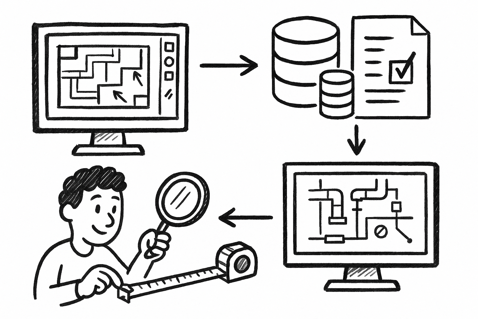
From Markups to Data: Governed Custom Measurements for Audit-Ready MEP Takeoffs in Revu
December 28, 2025 8 min read
Read More
Rhino 3D Tip: Manufacturing-Ready STEP and IGES Export Checklist for Rhino
December 27, 2025 2 min read
Read More
Design Software History: From Interchangeability to Semantic PMI: A History of Tolerancing in CAD
December 27, 2025 12 min read
Read MoreSubscribe
Sign up to get the latest on sales, new releases and more …


