Your Cart is Empty
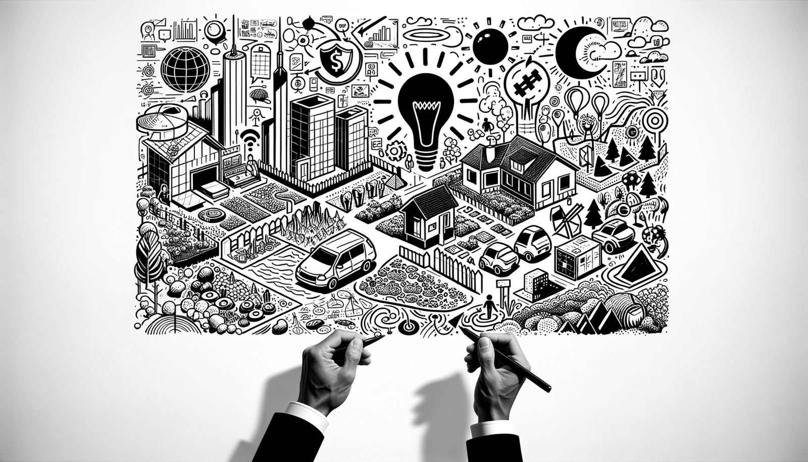
In the realm of urban design, the advent of cutting-edge technologies has dramatically transformed how architects and designers approach complex projects. Among these innovations, Enscape stands out as a pivotal tool that not only simplifies but significantly enhances the urban design process. This blog explores the robust functionalities of Enscape, focusing on its unparalleled capabilities in managing large-scale environments, bolstering collaborative efforts, providing real-time editing and visualization, seamlessly integrating GIS data, and offering a rich urban context through an extensive asset library.
Large Scale Environment Handling
Enscape shines brightly when it comes to rendering vast urban landscapes. Its engine is designed to efficiently handle extensive areas without compromising on the rich detail and complexity that large-scale projects demand. Key techniques for optimizing performance include:
- Strategically reducing polygon counts in models without losing essential details.
- Implementing level of detail (LOD) strategies to ensure high performance.
- Utilizing Enscape’s proxy objects to represent complex geometries.
These techniques not only facilitate a smoother workflow but also empower designers to bring their ambitious urban projects to life with remarkable agility and precision.
Collaborative Design Review
The ability to collaborate effectively is paramount in urban design projects. Enscape enhances this facet by offering robust features that support both synchronous and asynchronous collaboration. Its seamless integration with cloud services facilitates effortless sharing and reviewing of designs, enabling stakeholders to engage in the design process actively. This collaborative approach significantly impacts project timelines by streamlining decision-making processes and enhancing stakeholder engagement.
Real-Time Editing and Visualization
One of Enscape’s most compelling features is its real-time editing and visualization capabilities. Designers can receive dynamic feedback on design changes, allowing for instant adjustments and iterations. This not only enhances the design process but also aids in identifying and solving potential issues in urban design projects promptly. Enscape’s real-time visualization capabilities are a game-changer, offering designers a powerful tool to visualize their ideas with unmatched immediacy and realism.
Integration with GIS Data
The integration of GIS data into urban design projects is crucial for creating accurate and realistic representations of environments. Enscape facilitates the importing of GIS data to enrich urban designs with precise geographical and topographical details. This capability is instrumental in site analysis, planning, and ensuring sustainability and compliance considerations are met. Benefits of this integration include:
- Enhanced accuracy in site-specific designs.
- Streamlined compliance with local regulations and requirements.
- Improved sustainability outcomes through informed decision-making.
Detailed Urban Context through Asset Library
To achieve a realistic urban visualization, a detailed context is key. Enscape’s extensive asset library offers a wide range of elements to populate urban designs, from vegetation to vehicles and human figures. Designers can customize these assets to fit specific project needs, enhancing the realism and relatability of the final visualizations. Through real-world examples, the impact of a well-populated urban environment on the overall design and viewer engagement has been proven unequivocally.
In conclusion, Enscape’s advanced functionalities revolutionize urban design by offering designers a comprehensive suite of tools to tackle complex projects with ease and efficiency. From managing large-scale environments and fostering collaborative review processes to providing real-time editing and visualization, integrating GIS data, and delivering detailed urban contexts, Enscape empowers designers to achieve their vision with unprecedented realism. Its role in modern urban design is truly transformative, paving the way for innovative and sustainable urban environments.


