Your Cart is Empty
Customer Testimonials
-
"Great customer service. The folks at Novedge were super helpful in navigating a somewhat complicated order including software upgrades and serial numbers in various stages of inactivity. They were friendly and helpful throughout the process.."
Ruben Ruckmark
"Quick & very helpful. We have been using Novedge for years and are very happy with their quick service when we need to make a purchase and excellent support resolving any issues."
Will Woodson
"Scott is the best. He reminds me about subscriptions dates, guides me in the correct direction for updates. He always responds promptly to me. He is literally the reason I continue to work with Novedge and will do so in the future."
Edward Mchugh
"Calvin Lok is “the man”. After my purchase of Sketchup 2021, he called me and provided step-by-step instructions to ease me through difficulties I was having with the setup of my new software."
Mike Borzage
Revolutionizing Construction: The Impact of Drone Technology on 3D Modeling and Site Surveys
June 23, 2024 2 min read


Introduction to Drone Technology in Construction
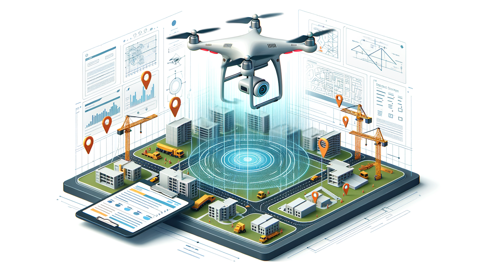
The advancements in drone technology have significantly impacted various industries, with the construction sector witnessing a profound transformation in terms of efficiency and safety. Drones, once a novelty, have become an indispensable tool in modern construction practices. This evolution traces back to the early experiments and adoption of drones, from simple aerial photography to complex data gathering and analysis tasks. The impact of drones on reducing time, cost, and risk in construction projects marks a significant leap forward from traditional methodologies.
The Process of 3D Modeling and Site Surveys with Drones
Conducting site surveys and generating 3D models with drones involves a meticulous process that ensures accuracy and efficiency. Below is a step-by-step guide:
- Pre-flight planning and legal considerations: This initial step involves securing necessary permissions and ensuring compliance with local regulations. It's crucial to plan the flight path, considering obstacles and optimal data capture angles.
- Capturing data: The drone flight is executed according to the pre-defined path. Key factors include setting the right altitude, adjusting the camera specifications, and selecting appropriate flight patterns to cover the entire site effectively.
- Post-flight: Data processing and 3D model generation: After the flight, the captured data undergoes processing to stitch images together, creating detailed 3D models of the surveyed site.
A comparative analysis between traditional survey methods and drone surveys reveals significant advantages of the latter, including higher precision, faster data collection, and the ability to access difficult or dangerous terrain without compromising safety.
Software and Tools for Drone-Based Surveying
The selection of software solutions for processing drone data is critical for the success of 3D modeling and site surveys. Key features to look for in these software tools include ease of integration with existing CAD and BIM tools, flexibility in data handling, and advanced analytics capabilities. The integration of drone data with BIM (Building Information Modeling) tools, for instance, enables seamless workflow from survey to design and construction phases. While specific case studies are beyond the scope of this article, it is worth noting that numerous successful projects have demonstrated the efficacy of drone surveys and 3D modeling in enhancing project outcomes.
Challenges and Future Directions
Despite the clear benefits, the adoption of drone technology in construction faces several challenges. Privacy concerns, airspace regulations, and ensuring data accuracy are among the key issues that need to be addressed to further expand the use of drones. Looking ahead, the future of drone technology in construction is promising, with advancements such as AI integration, autonomous flights, and enhanced data processing capabilities on the horizon. These innovations are expected to further revolutionize construction practices, making drones an even more integral part of the industry.
In conclusion, the transformative potential of drones in the construction and architectural design sectors is immense. Embracing these technologies and investing in their development can lead to unparalleled improvements in project efficiency, safety, and overall quality. As such, the construction industry stands on the brink of a new era, poised to adopt and benefit from the advancements in drone technology.
Also in Design News

Rhino 3D Tip: SaveRenderWindow: Export Pixel‑Perfect Render Window Images with Alpha
February 23, 2026 2 min read
Read More
Design Software History: Workstations, Kernels, Parametrics and PLM: Technical Catalysts of the 2D→3D CAD Transition (1980s–90s)
February 23, 2026 14 min read
Read More
Process-Aware Multiscale Material Modeling for Additive Manufacturing Design Software
February 23, 2026 14 min read
Read MoreSubscribe
Sign up to get the latest on sales, new releases and more …


