Your Cart is Empty
Harnessing Advanced Design Software for Smart City Development: A Comprehensive Guide
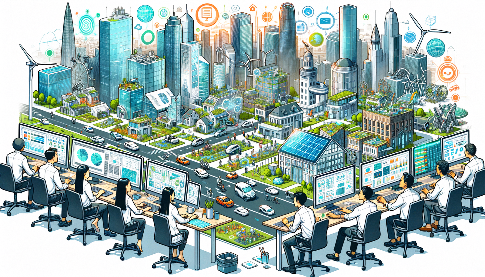


In today's rapidly evolving urban landscapes, the development of smart cities has become a focal point for addressing the challenges of urbanization. Leveraging advanced technologies and innovative design processes, smart cities aim to enhance the efficiency, sustainability, and livability of urban environments. Central to this endeavor is the utilization of cutting-edge design software tools that enable planners, architects, and engineers to create data-driven, integrated urban solutions that meet the complex needs of modern society.
Geographic Information Systems (GIS)
Geographic Information Systems (GIS) have emerged as indispensable tools in the planning and development of smart cities. By providing sophisticated mapping and spatial analysis capabilities, GIS allows urban planners to visualize and interpret a vast array of data related to the urban environment. This includes demographic information, land use patterns, infrastructure distribution, and environmental conditions. Through GIS, planners can perform comprehensive spatial analyses that inform decision-making processes, ensuring that urban development is both strategic and sustainable.
A key feature of GIS is its ability to integrate various data sources for comprehensive insights. Planners can overlay multiple layers of data, such as transportation networks, utility systems, and environmental impact zones, to gain a holistic understanding of the urban landscape. This integration facilitates the identification of correlations and patterns that might not be apparent through traditional analysis methods. For instance, GIS can help identify areas where public transportation access is limited, guiding the development of new transit routes to better serve the community.
Moreover, GIS supports mapping and spatial analysis for urban planning by enabling the simulation of different development scenarios. Planners can model the potential impact of new infrastructure projects, zoning changes, or environmental policies before implementation. This predictive capability helps in assessing the long-term effects of urban development decisions, promoting sustainable growth. Additionally, GIS tools can facilitate public engagement by presenting complex spatial information in an accessible format, encouraging community input in the planning process.
Building Information Modeling (BIM)
Building Information Modeling (BIM) is revolutionizing the way infrastructure and buildings are designed and constructed in smart cities. BIM enables the creation of detailed three-dimensional models that encompass not only the physical but also the functional aspects of structures. Through BIM, architects, engineers, and planners can collaborate on a shared platform, ensuring that all stakeholders have access to consistent and up-to-date information throughout the project lifecycle.
The use of BIM facilitates 3D modeling of infrastructure and buildings, providing a comprehensive visualization that enhances understanding and communication among project teams. This detailed modeling allows for the early detection of design conflicts, reducing the likelihood of costly revisions during construction. BIM's collaborative environment promotes coordination among different disciplines, such as structural engineering, mechanical systems, and architectural design, ensuring that all elements of the project are harmoniously integrated.
Furthermore, BIM plays a crucial role in facilitating coordination among architects, engineers, and planners. By centralizing project data and documentation, BIM enhances transparency and accountability within the design process. Stakeholders can easily track changes, manage versions, and maintain a historical record of decisions. This level of coordination not only streamlines the design and construction phases but also contributes to better maintenance and operation of the building after completion. In the context of smart cities, BIM's ability to integrate with other digital technologies, such as IoT devices and smart building systems, further amplifies its value by supporting the creation of intelligent, connected structures.
Urban Simulation and Visualization Tools
The advent of urban simulation and visualization tools has significantly enhanced the capacity of planners to design and communicate complex urban concepts. Technologies such as virtual reality (VR) and augmented reality (AR) offer immersive experiences that bring urban plans to life, allowing stakeholders to explore and interact with proposed developments in a realistic manner. This immersive planning approach facilitates a deeper understanding of spatial relationships, design aesthetics, and functional aspects of urban projects.
One of the primary applications of these tools is the simulation of traffic flow, environmental impact, and resource management. Planners can model how changes to infrastructure will affect traffic congestion, predict the environmental consequences of new developments, and optimize the allocation of resources such as water and energy. By visualizing these factors in a dynamic, interactive environment, decision-makers can identify potential issues and explore alternative solutions before implementation.
Moreover, VR and AR technologies enhance stakeholder engagement by providing accessible and intuitive ways to experience urban plans. Community members, investors, and policy-makers can virtually navigate through proposed developments, offering feedback and gaining insights into the project's potential impact. This level of engagement promotes transparency and collaboration, ensuring that urban development aligns with the needs and expectations of all parties involved. In essence, urban simulation and visualization tools are bridging the gap between complex technical designs and the broader community, fostering more inclusive and effective smart city development.
Real-Time Data Incorporation
The integration of real-time data incorporation into design processes is a defining characteristic of smart city development. By leveraging sensors and IoT devices dispersed throughout the urban environment, cities can collect vast amounts of data on traffic patterns, environmental conditions, energy consumption, and more. This live data provides an invaluable resource for planners and designers, enabling them to make informed decisions based on current conditions and trends.
Utilizing sensors and IoT devices to gather live data allows for a dynamic and responsive approach to urban planning. For instance, real-time traffic data can inform the design of transportation networks, helping to alleviate congestion and improve mobility. Environmental sensors can monitor air and water quality, guiding the implementation of green spaces or pollution control measures. The continuous flow of data ensures that urban solutions remain relevant and effective over time.
Moreover, enhancing decision-making with up-to-date information is critical in the fast-paced context of modern cities. Planners can quickly adapt to emerging challenges, such as unexpected population growth or climate-related events, by accessing the latest data. This agility not only improves the efficiency of urban development but also contributes to the resilience and sustainability of the city. By embedding real-time data into design software, smart cities can create more adaptive and intelligent urban environments that respond proactively to the needs of their inhabitants.
Smart Infrastructure Management
Effective smart infrastructure management is essential for the successful operation of smart cities. This involves designing infrastructures that support connectivity and interoperability, ensuring that various systems within the city can communicate and function seamlessly together. By integrating utilities, transportation, and public services within design software, planners can create a cohesive urban environment where technology enhances the quality of life for residents.
Designing for connectivity and interoperability of smart systems means considering how different components of the city will interact. For example, transportation networks can be linked with energy grids to optimize electric vehicle charging stations, or public lighting systems can be connected to environmental sensors to adjust brightness based on weather conditions. This level of integration requires meticulous planning and advanced design tools that can model complex system interactions.
Integration of utilities, transportation, and public services within design software offers several advantages:
- Improved Efficiency: Coordinated systems reduce redundancies and optimize resource usage.
- Enhanced User Experience: Seamless services improve convenience for residents and visitors.
- Data Synergy: Shared data among systems provides deeper insights for decision-making.
Ultimately, smart infrastructure management is about creating a foundation upon which smart cities can thrive. By ensuring that all systems are designed to work together harmoniously, cities can achieve greater efficiency, sustainability, and adaptability, meeting the evolving demands of urban life.
Data Analytics and Visualization
The role of data analytics and visualization in smart city development cannot be overstated. With the vast amounts of data generated by IoT devices and other sources, advanced analytical tools are necessary to process and interpret this information. By analyzing large datasets to identify trends and optimize urban solutions, planners can uncover patterns that inform strategic decisions, leading to more effective and efficient urban environments.
Data analytics enables the identification of correlations between different urban factors, such as the relationship between traffic congestion and air quality, or the impact of public transportation accessibility on economic development. By understanding these relationships, planners can develop targeted interventions that address multiple issues simultaneously. For example, promoting cycling infrastructure may alleviate traffic congestion while also improving public health.
The use of visual tools for presenting complex data to stakeholders is equally important. Data visualization transforms intricate datasets into accessible formats, such as interactive graphs, heat maps, and dashboards. This not only aids planners in interpreting data but also facilitates communication with stakeholders who may not have technical backgrounds. By presenting data in a clear and engaging manner, planners can foster informed discussions, gain stakeholder buy-in, and make collaborative decisions that benefit the community.
Multi-Disciplinary Collaboration Platforms
The complexity of smart city projects necessitates a high level of collaboration among various disciplines, including urban planning, engineering, architecture, and technology. Multi-disciplinary collaboration platforms are essential tools that enable seamless communication and coordination between different stakeholders. By providing shared workspaces and version control, these platforms support coordinated efforts, ensuring that all participants are aligned in their objectives and actions.
Enabling seamless communication between different stakeholders reduces the likelihood of misunderstandings and conflicts that can delay projects. Collaboration platforms often include features such as real-time messaging, document sharing, and task management, which streamline workflows and promote transparency. Team members can quickly access the information they need, provide updates, and address issues as they arise.
Shared workspaces and version control are particularly valuable in complex projects where multiple revisions and iterations are common. Version control ensures that everyone is working with the most current data and designs, preventing errors that can occur from outdated information. Additionally, these platforms often include audit trails and change logs, which enhance accountability and facilitate project management. By leveraging multi-disciplinary collaboration platforms, smart cities can harness the collective expertise of diverse professionals to create more innovative and effective urban solutions.
Sustainability Modeling
As concerns about environmental impact and resource scarcity grow, sustainability modeling has become a critical component of smart city design. Utilizing advanced tools for assessing environmental impact and energy efficiency enables planners to create urban environments that are not only technologically advanced but also ecologically responsible. By incorporating green building standards and sustainable materials into designs, cities can reduce their carbon footprint and promote long-term environmental health.
Tools for assessing environmental impact and energy efficiency allow planners to simulate how different design choices affect factors such as energy consumption, water usage, and greenhouse gas emissions. This predictive capability helps in selecting designs that minimize negative environmental impacts. For example, modeling can identify the optimal orientation of buildings to maximize natural light and reduce the need for artificial lighting.
Incorporating green building standards and sustainable materials into designs ensures that sustainability is embedded into the very fabric of the city's infrastructure. This includes using renewable energy sources, implementing waste reduction strategies, and selecting materials with low environmental impact. Sustainability modeling tools can evaluate the lifecycle costs and benefits of these choices, supporting decisions that are economically viable and environmentally sound. By prioritizing sustainability, smart cities not only contribute to global environmental goals but also enhance the quality of life for their residents through healthier, more sustainable living spaces.
Public Engagement and Feedback Integration
An essential aspect of smart city development is the inclusion of the community in the planning process. Public engagement and feedback integration ensure that the needs and preferences of residents are considered, leading to solutions that are more effective and widely accepted. Interactive design platforms facilitate community input by providing accessible channels for feedback and collaboration.
Facilitating community input through interactive design platforms empowers residents to participate actively in shaping their urban environment. These platforms may include online forums, interactive maps, and mobile applications where citizens can share their ideas, report issues, and provide feedback on proposed projects. This inclusive approach fosters a sense of ownership and responsibility among community members.
Utilizing feedback to refine and improve smart city initiatives ensures that projects remain aligned with the evolving needs of the population. Feedback mechanisms allow planners to identify areas of concern, assess public sentiment, and adjust plans accordingly. This iterative process not only enhances the effectiveness of urban solutions but also builds trust between the community and decision-makers. By embracing public engagement, smart cities can create more responsive and personalized urban environments that reflect the values and aspirations of their inhabitants.
Summary of Key Points
In conclusion, the integration of advanced design software tools is paramount in the planning and execution of smart cities. Technologies such as GIS, BIM, and urban simulation tools enhance the ability of planners to create data-driven, efficient, and sustainable urban solutions. The incorporation of real-time data and IoT devices enriches the design process with up-to-date information, enabling responsive and adaptive urban environments. Collaborative platforms and sustainability modeling support multi-disciplinary coordination and environmental responsibility, while public engagement ensures that the community remains at the heart of smart city development.
Future Outlook
Looking ahead, emerging trends in design software are poised to further transform smart city development. The integration of artificial intelligence (AI) and machine learning will enhance automation and predictive capabilities, allowing for more sophisticated analysis and optimization of urban systems. Enhanced user experiences through advanced visualization technologies will continue to improve stakeholder engagement and collaboration. As these technologies evolve, smart cities will become increasingly connected, efficient, and attuned to the needs of their residents.
Final Thoughts
Ultimately, the successful realization of smart cities hinges on the effective harnessing of technology and innovation. By embracing advanced design software tools and fostering collaborative, sustainable practices, cities can build resilient, efficient, and livable urban environments. The synergy between technology and human-centered design holds the key to addressing the complex challenges of urbanization, paving the way for a smarter, more sustainable future.
Also in Design News