Your Cart is Empty
Maximizing Enscape for Urban Planning: 5 Techniques to Transform Visualization and Stakeholder Engagement
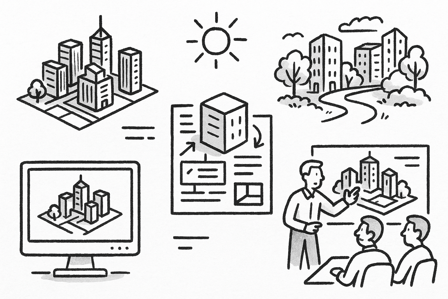


Brief Introduction
Real-time visualization has become a strategic ally for urban planners who must translate complex spatial data into compelling narratives, often within compressed schedules and with diverse audiences in mind. Enscape’s GPU-driven engine provides an immediate, photoreal window into developing schemes, allowing professionals to iterate visually and quantitatively at once. This article explores five outcome-oriented techniques—each applicable to master plans, transit corridors, revitalization studies, and green-field developments—that unlock the full value of Enscape for planning practice.
Immersive Stakeholder Walkthroughs with Real-Time VR
Traditional plan-view drawings and static renderings can leave non-designers struggling to grasp spatial intent. By exporting VR-ready scenes straight from Revit, Rhino, or SketchUp, planners can orchestrate live charrettes where decision-makers inhabit proposals at a one-to-one scale. The result is a heightened sense of presence that accelerates consensus and surfaces design issues earlier.
During a typical session, the host model is enriched with Enscape’s BIM data overlay, allowing zoning metrics, floor-area ratios, setback distances, or density counts to float as contextual labels inside the headset. City officials can literally look up at a tower envelope and confirm whether its FAR meets policy thresholds without referring to separate spreadsheets. Community members appreciate seeing how a new mid-rise might relate to an adjacent heritage façade from eye level rather than an abstract section.
For asynchronous reviews, narrated fly-throughs can be recorded directly within Enscape. Audio commentary synchronized to the camera path reduces meeting cycles, frees up staff calendars, and preserves a visual audit trail of how design intent evolves.
Hardware choices matter. Tethered headsets such as Valve Index or HTC Vive Pro deliver higher fidelity but require GPU-class laptops or desktops. Stand-alone devices like Meta Quest 3 simplify deployment at town-hall events yet demand tighter polygon budgets to sustain frame rates above 72 fps. A lightweight publishing workflow—splitting large master plans into district-scale chunks and employing Enscape’s simplified geometry modes—keeps performance predictable.
Data-Driven Sunlight & Shadow Analysis Visualizations
Sunlight access remains a critical equity, health, and microclimate concern, especially in dense urban cores. Enscape harnesses precise geolocation, date, and time parameters to simulate sun positions, enabling planners to evaluate seasonal shadow casting in minutes rather than hours of pre-render processing.
Comparative stills or looping GIFs depicting winter solstice, summer solstice, and equinox conditions help explain how massing adjustments influence public-realm quality. When guiding elected officials through the imagery, interactive sliders can morph building heights in real time, revealing the threshold where an afternoon plaza slips into perpetual shade.
Because Enscape supports custom texture mapping, solar path diagrams and lux-based heatmaps generated by analytical toolsets like Ladybug may be overlaid on façades or ground planes. The result is a hybrid visualization where scientific rigor coexists with cinematic clarity. Animated transitions that fade between baseline and proposal clarify regulatory compliance with daylighting ordinances and convey the trade-offs behind planning recommendations.
Integrating GIS Context for Large-Scale Site Scenarios
Large-area studies—regional transit corridors, floodplain expansions, or campus expansions—demand contextual accuracy that surpasses what an isolated BIM model can provide. By importing terrain meshes and orthophotos from ArcGIS or QGIS, planners stitch real-world topography and land-cover data directly into the Enscape scene. Surface materials can then be refined using PBR textures to align with the engine’s lighting solver, delivering a near-photographic base canvas.
Populating the environment with entourage from Enscape’s extensive asset library communicates socio-economic nuance. For example, selecting electric buses, cyclists in work attire, and pedestrians of varying ages illustrates anticipated modal splits in a proposed transit-oriented development. Traffic managers and public-health advocates are more likely to trust a vision that respects local behavior patterns.
Once viewpoints along a planned light-rail line are established, orthographic and two-point perspective modes turn immersive scenes into graphic plates that slot directly into environmental statements. Batch exporting ensures each option set—no-build, moderate density, or transit-supportive—produces identical camera positions, eliminating accusations of manipulative framing.
Iterative Mixed-Reality Public Consultation Experiences
Public consultation is most effective when communities can overlay future transformations onto familiar streets in real time. Enscape’s support for Microsoft HoloLens and Meta Quest Passthrough empowers planners to host pop-up events where citizens see proposed streetscapes fused with the physical environment.
- On-the-fly parameter adjustments: Using Enscape’s slider UI, facilitators vary building setbacks, façade colors, or bike-lane widths while participants watch the holographic scene update instantly. Reaction moments—smiles, head nods, or vocal concerns—become qualitative data that guide the next design sprint.
- Spatial comment capture: QR-coded markers placed on sidewalks or signposts anchor comment bubbles in 3D space. As visitors annotate areas needing more trees or request traffic-calming features, the feedback synchronizes back to the BIM environment, ensuring no insight is lost after the headsets power down.
Engagement metrics—including time spent exploring each design variant and the popularity of selectable options—help planners quantify interest levels. Statistically significant patterns surface quickly: perhaps residents dwell longer in scenes where ground-floor retail opens onto wider sidewalks, indicating a preference that merits budget prioritization.
Animated Phasing & Construction Logistics Simulations
Even the most elegant master plan can falter when construction sequencing disrupts daily life. By building phase sets in the BIM tool and synchronizing them to Enscape’s timeline feature, planners create vivid animations that map demolition, grading, utility installation, and vertical build-out across months or years.
Traffic detour routes, temporary bus stops, and pedestrian bypass paths overlay onto the urban fabric via semi-transparent materials, allowing the public to understand mobility impacts long before ground is broken. Stakeholders ranging from contractors to local shop owners can visualize how each transition stage protects access and safety.
Video exports in MP4 format serve dual purposes: detailed briefings for contractors and accessible social-media updates that boost transparency. Because Enscape renders these sequences in real time, adjustments—moving a laydown yard, altering a crane pick radius—are updated instantly without re-render overhead.
Cranes and staging areas modeled with accurate collision envelopes can be animated to test swing arcs against adjacent buildings. Risk mitigation teams appreciate being able to pause the simulation at critical moments, isolate a geometry clash, and then revise the logistics drawing inside the authoring tool, all within a single meeting.
Brief Conclusion
Moving beyond static renderings, Enscape positions urban planners as storytellers who weave spatial, social, and quantitative threads into a unified experience. Real-time VR walkthroughs foster empathy, data-driven sunlight analyses validate policy alignment, and mixed-reality consultations democratize feedback. When animated phasing reveals how construction will unfold and GIS context grounds visions in reality, resistance fades, and interdisciplinary trust grows.
The next planning cycle is an opportunity to integrate one or more of these techniques. Whether aiming to accelerate approvals, rebuild public confidence, or streamline consultant collaboration, Enscape’s toolkit offers a practical path forward. Urban challenges are urgent; embrace visualization workflows that keep pace.
Also in Design News