Your Cart is Empty
Customer Testimonials
-
"Great customer service. The folks at Novedge were super helpful in navigating a somewhat complicated order including software upgrades and serial numbers in various stages of inactivity. They were friendly and helpful throughout the process.."
Ruben Ruckmark
"Quick & very helpful. We have been using Novedge for years and are very happy with their quick service when we need to make a purchase and excellent support resolving any issues."
Will Woodson
"Scott is the best. He reminds me about subscriptions dates, guides me in the correct direction for updates. He always responds promptly to me. He is literally the reason I continue to work with Novedge and will do so in the future."
Edward Mchugh
"Calvin Lok is “the man”. After my purchase of Sketchup 2021, he called me and provided step-by-step instructions to ease me through difficulties I was having with the setup of my new software."
Mike Borzage
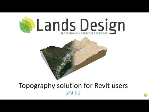
Lands Design: A BIM landscape software with Revit interoperability & much more!
April 26, 2023 2 min read

If you're an architect, landscaper, or urban planner, you know that designing beautiful, functional landscapes can be a complex and time-consuming process. Fortunately, there's a software program that can help: Lands Design. In this blog post, we'll explore what Lands Design is, why it's a great tool for landscape design professionals, and how it can benefit your workflow.
Lands Design is a software program that allows users to create, design, and render 2D and 3D landscapes, gardens, and outdoor spaces. It is an add-on for Rhino, the popular 3D modeling software, and uses Rhino's powerful tools to create complex terrain, vegetation, water features, and more.
In addition to providing an extensive library of plants, trees, and other outdoor elements, and an array of powerful tools that make it easy to create topography, paths, water features, and other common elements found in outdoor spaces, Lands Design allows to create realistic 3D renderings of outdoor spaces with just a few clicks, and it's also an excellent tool for collaboration, allowing multiple users to work on the same project simultaneously.
Lands Design integrates with a variety of BIM programs. Interoperability is incredibly valuable because it allows you to create a more integrated and cohesive design, with all the necessary information and elements you need well connected. It can also help you save time and streamline your workflow by eliminating the need to switch back and forth between programs or manually transfer data. like Revit to allow designers to create detailed, accurate 3D models of landscapes and outdoor spaces.
One of the key benefits of using Lands Design is that it allows for a seamless integration with Revit. Revit is a BIM software that is widely used by architects and construction professionals, and it is an incredibly powerful tool for creating 3D models of buildings and other structures. By integrating with Revit, Lands Design allows landscape architects to easily create 3D models of outdoor spaces that can be seamlessly integrated with building models created in Revit.
This integration allows for greater accuracy and efficiency in the design and construction process. By creating a comprehensive 3D model of a project that includes both the building and the outdoor space, designers can identify potential conflicts and issues before construction begins. This can help to avoid costly delays and revisions down the line, and can help to ensure that the final product is as functional and beautiful as possible.
Overall, the integration of BIM landscape software like Lands Design with Revit is an exciting development in the world of architectural and landscape design. By allowing for seamless integration between building and outdoor space models, it can help to ensure that projects are completed on time, on budget, and to the highest possible standards of quality and beauty.
Feel free to call our experts at 866 362 8970 to find out more about Lands Design, or to request a quote.
Also in Design News

Rhino 3D Tip: Build reusable, data‑driven title block templates in Rhino
December 11, 2025 2 min read
Read More
Live Performance Budgets: Real-Time Cost, Carbon, Energy and Lead-Time in CAD/BIM
December 11, 2025 14 min read
Read MoreSubscribe
Sign up to get the latest on sales, new releases and more …


