Your Cart is Empty
Design Software History: Evolution of Terrain Modeling in Design Software: From Early Tools to Modern Innovations and Future Trends


Introduction to Terrain Modeling in Design Software
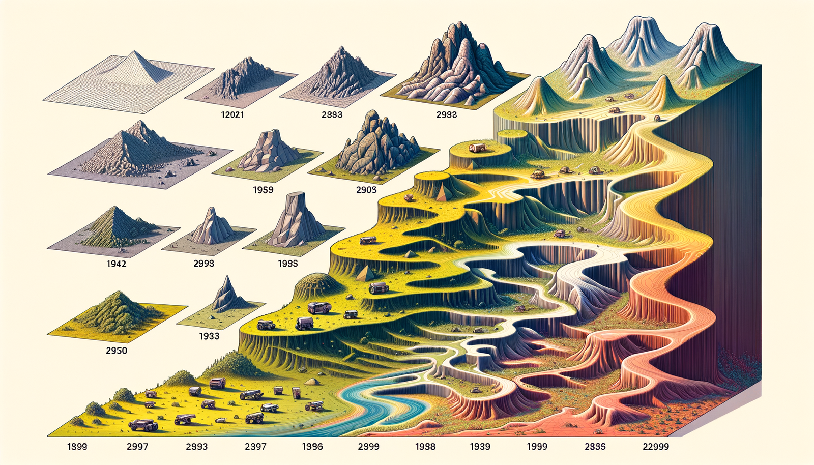
Terrain modeling has become an essential component in modern design projects, serving as the foundation upon which architects, civil engineers, and urban planners build their visions. **Terrain modeling** refers to the digital representation of the Earth's surface topography, allowing professionals to simulate and analyze landscapes with precision. The importance of terrain modeling in design projects cannot be overstated; it enables accurate planning, environmental impact assessments, and the optimization of structures in harmony with the natural environment. In the early days of design, the lack of sophisticated terrain modeling tools posed significant challenges. Architects and engineers relied on physical models and rudimentary drawings, which were time-consuming and often lacked the detail necessary for complex projects. The **early need for terrain modeling tools** was particularly acute in industries such as architecture and civil engineering, where understanding the nuances of the terrain could make the difference between a successful project and a costly oversight. Over the years, terrain modeling has evolved remarkably. From initial manual methods to advanced digital techniques, the journey of terrain modeling reflects the broader evolution of design software. Technological advancements have transformed how professionals interact with terrain data, leading to more efficient workflows and the ability to tackle projects of unprecedented complexity.Early Terrain Modeling Tools and Technologies
The advent of digital terrain modeling tools in the **1970s and 1980s** marked a significant milestone in the design industry. During this era, computational capabilities were limited, but the need for more accurate and efficient terrain representations was growing. The first digital terrain models (DTMs) emerged as rudimentary tools that allowed for basic manipulation and visualization of terrain data. Despite their limitations, these tools laid the groundwork for future advancements. **Intergraph Corporation**, founded in 1969 by former employees of IBM, was one of the pioneering companies in this domain. Intergraph's focus on computer graphics and interactive computer-aided design (CAD) systems led to the development of early terrain modeling software. Their innovations enabled users to input, edit, and analyze topographic data more effectively than ever before. Another key player was **Bentley Systems**, established in 1984 by brothers Keith and Barry Bentley. Bentley Systems introduced MicroStation, a CAD software platform that eventually incorporated terrain modeling capabilities. MicroStation allowed engineers and architects to work with 3D models, facilitating better visualization and planning. The incorporation of terrain modeling features into mainstream CAD software represented a significant step forward in making these tools accessible to a broader audience. The initial technological challenges during this period were substantial. **Processing power** was a major limitation; computers of the time lacked the capability to handle large datasets required for detailed terrain modeling. Data acquisition was another hurdle. Before the widespread availability of satellite imagery and advanced surveying equipment, obtaining accurate topographic data was a labor-intensive process. Surveyors had to collect data points manually, which was time-consuming and prone to errors. Furthermore, the algorithms used for terrain modeling were in their infancy. Early models struggled with issues like data interpolation and rendering realistic surfaces. The lack of user-friendly interfaces also meant that only specialists with significant training could operate these systems effectively. Despite these challenges, the foundational work done during the 1970s and 1980s set the stage for the rapid advancements that would follow in the subsequent decades.Advances in Terrain Modeling Techniques
The **1990s and early 2000s** witnessed significant advancements in terrain modeling techniques, driven by developments in mathematical models and computational algorithms. One of the critical breakthroughs was the application of **triangulated irregular networks (TINs)** and grid-based models, which allowed for more accurate and flexible representations of terrain surfaces. These mathematical models facilitated the handling of complex topographies by efficiently managing data points and improving surface interpolation methods. The integration of **Geographic Information Systems (GIS)** technology had a profound impact on terrain modeling. GIS provided a framework for capturing, storing, analyzing, and managing spatial and geographical data. Companies like **Esri**, founded by Jack and Laura Dangermond in 1969, played a pivotal role in advancing GIS technology. The introduction of ArcGIS by Esri revolutionized the way spatial data, including terrain information, was utilized. By combining GIS with terrain modeling, designers could overlay various data layers, such as land use, infrastructure, and environmental factors, enhancing the depth and utility of terrain models. Improved data sources significantly enhanced the fidelity of terrain models. The advent of **satellite imagery** provided a wealth of information that was previously inaccessible. Satellites like Landsat, launched by NASA, began supplying high-resolution images of the Earth's surface. Furthermore, the development of **Light Detection and Ranging (LIDAR)** technology offered unprecedented accuracy in terrain data collection. LIDAR uses laser pulses to measure distances to the Earth's surface, generating detailed 3D information about the shape of the terrain and its surface characteristics. These advancements allowed for: - **Enhanced Accuracy**: High-resolution data led to precise terrain models that closely represented real-world conditions. - **Efficient Data Handling**: Advanced algorithms improved processing speeds, enabling the handling of larger datasets without compromising performance. - **Expanded Applications**: More accurate models opened new possibilities in environmental analysis, urban planning, and disaster management. The combination of advanced mathematical models, GIS integration, and enhanced data sources propelled terrain modeling from a niche technical skill to an essential component of the design process. These developments not only improved the accuracy of terrain models but also expanded their applications across various industries.Modern Applications and Future Trends
In the contemporary design landscape, terrain modeling has become integral to **architecture, urban planning, and environmental studies**. Architects use terrain models to ensure that their designs harmonize with the existing landscape, taking into account factors like slope, elevation, and orientation. Urban planners rely on accurate terrain representations to make informed decisions about infrastructure development, zoning, and resource management. Environmental scientists utilize terrain modeling to assess ecological impacts, erosion patterns, and watershed analysis. Modern design software has incorporated **advanced terrain modeling features** that streamline the design process and enhance capabilities. **Autodesk Civil 3D**, for example, is a comprehensive civil engineering design software that offers robust terrain modeling tools. Civil 3D allows for the creation of accurate surface models, volume calculations, and earthwork analysis, making it indispensable for civil engineering projects. Similarly, **Trimble's SketchUp** provides intuitive 3D modeling tools with terrain integration, enabling designers to quickly visualize projects in real-world contexts. Key features of modern terrain modeling software include: - **Real-Time Editing**: Immediate updates to terrain models as changes are made, enhancing the iterative design process. - **Data Integration**: Ability to incorporate various data sources, including GIS data, LIDAR scans, and satellite imagery. - **Collaboration Tools**: Cloud-based platforms that allow for seamless collaboration among multidisciplinary teams. Emerging trends are pushing the boundaries of what is possible with terrain modeling. **Real-time terrain modeling** is becoming increasingly feasible with advancements in computational power and software optimization. The use of **Artificial Intelligence (AI)** and machine learning algorithms is also making an impact. AI can automate terrain analysis, identify patterns, and predict potential issues, thereby reducing manual effort and improving accuracy. Additionally, the integration of **Building Information Modeling (BIM)** with terrain modeling is gaining traction. BIM provides a holistic approach to building design and management, and incorporating terrain data enhances the overall understanding of project parameters. The use of **virtual reality (VR)** and **augmented reality (AR)** technologies is on the horizon, offering immersive experiences that allow designers and stakeholders to interact with terrain models in innovative ways. As technology continues to evolve, we can expect further innovations in terrain modeling capabilities. Developments in areas such as **cloud computing** and **edge computing** could provide even more powerful tools for data processing and analysis. These advancements will undoubtedly continue to shape the way professionals model and interact with terrain, ultimately impacting design processes and the built environment on a global scale.Conclusion
The journey of terrain modeling in design software reflects a saga of technological innovation and the relentless pursuit of accuracy and efficiency. From the early days of basic digital representations in the **1970s and 1980s**, spearheaded by pioneering companies like **Intergraph** and **Bentley Systems**, to today's sophisticated tools, the evolution has been remarkable. Significant milestones include the introduction of advanced mathematical models, the integration of **GIS technology**, and the utilization of improved data sources like **satellite imagery** and **LIDAR**. These advancements have had a profound impact on various industries. In architecture and civil engineering, terrain modeling has become essential for designing structures that are safe, sustainable, and harmonious with their surroundings. Urban planners rely on accurate terrain data to make informed decisions that shape the growth and development of cities. Environmental scientists use terrain models to understand and mitigate the effects of human activity on natural landscapes. Looking ahead, future innovations are poised to further transform terrain modeling capabilities. The integration of **AI** and machine learning promises to automate complex analysis, while real-time modeling and cloud-based collaboration tools enhance efficiency and teamwork. The potential incorporation of **VR and AR technologies** could revolutionize how professionals interact with terrain data, making the design process more intuitive and immersive. As we reflect on the advances made thus far, it is clear that the evolution of terrain modeling has been driven by a combination of technological breakthroughs and the increasing demands of complex design projects. The future holds exciting possibilities that will undoubtedly continue to shape the way we model and interact with the terrain, ultimately impacting the design processes and the built environment on a global scale.Also in Design News