
Your Cart is Empty


BricsCAD's survey toolset | Webinar

Video From YouTube: Octave BricsCAD
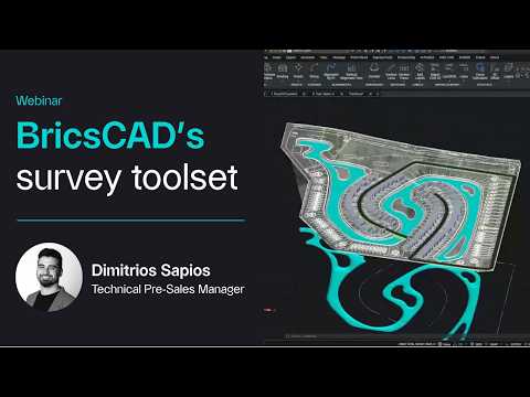
Graebert presents a practical webinar designed to master civil and survey workflows using BricsCAD. Targeted at new and experienced users, the session demonstrates how to streamline civil and surveying processes, manage geospatial data more effectively, and increase accuracy. Viewers learn efficient import and management of survey data, automation of repetitive civil surveying tasks, and creation and editing of terrain models. Practical, hands-on examples illustrate best practices and time-saving techniques for real-world projects. The webinar equips engineers, surveyors, and BIM professionals with actionable workflows to improve productivity and ensure reliable geospatial outputs and quality control in everyday design and surveying tasks.
If you like this content please subscribe to the Bricsys YouTube Channel

Browse Bricsys Products
Professional, familiar DWG‐based 2D & 3D CAD
Also in Design News