Your Cart is Empty
"Revolutionizing Urban Planning: Unleashing SketchUp for Rapid, Data-Driven City Design"
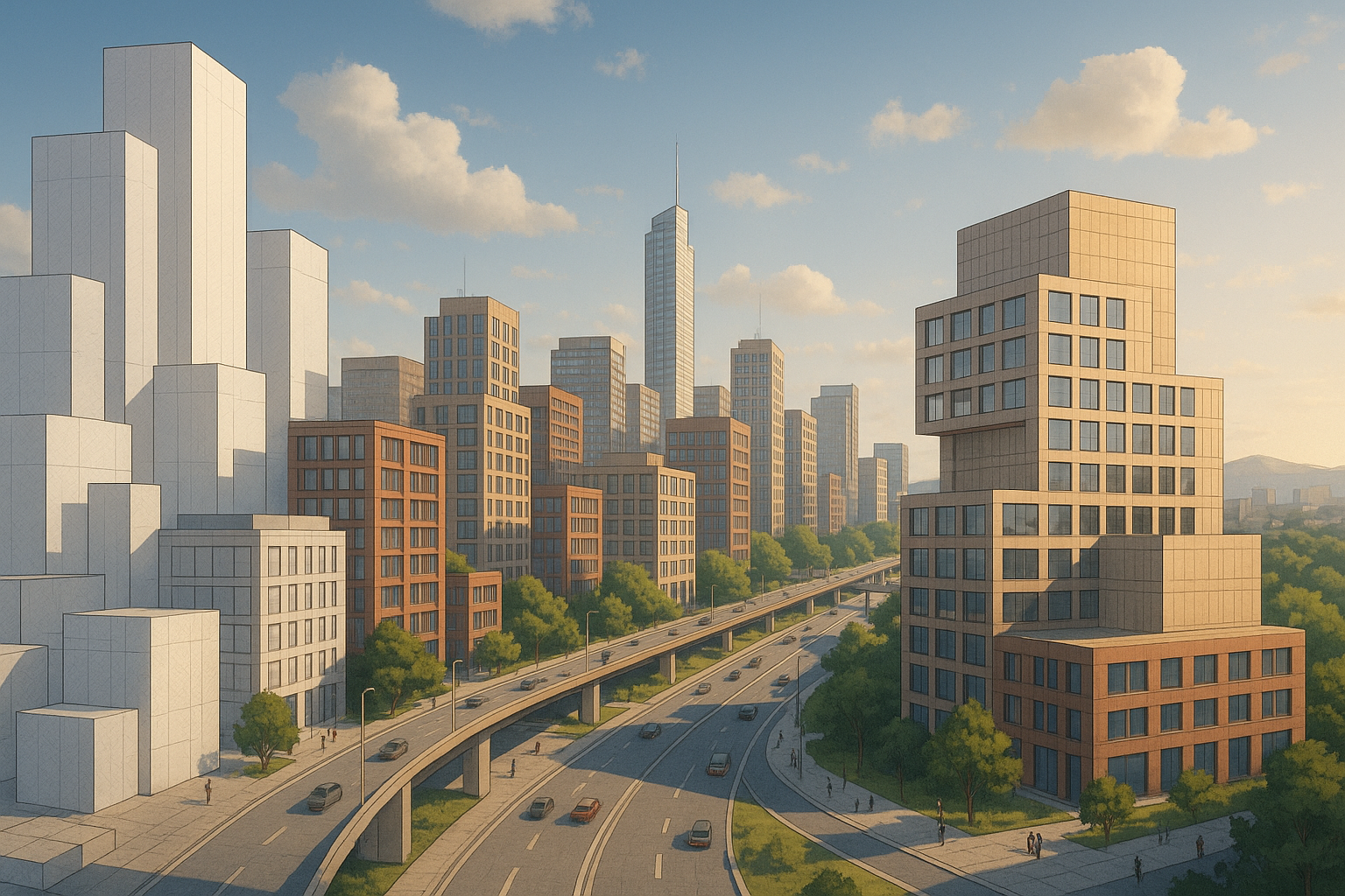


Urban growth is outpacing traditional planning methodologies. New transport demands, housing shortages, and climate imperatives collide in ever-denser built environments. SketchUp, with its unmistakably approachable interface and an ecosystem of professional plug-ins, has emerged as a digital workbench where planners sketch, simulate, and communicate urban ideas at the speed that modern cities now require.
Accelerating Conceptualization with Intuitive 3D Modeling
A concept that can be “felt” in three dimensions within minutes carries a tremendous advantage over one trapped in 2D diagrams. SketchUp’s signature push-pull paradigm turns rectangles into volumetric blocks through a single gesture. Combine that with section planes for instant cutaways and groups/components that isolate geometry, and early mass-modeling becomes an almost tactile experience. Volumes stack, shear, and pivot in seconds, encouraging designers to sketch at the pace of their thoughts rather than at the pace of software dialog boxes.
Two complementary workflows thrive side by side. A top-down approach begins with a simplified citywide Level of Detail 0 (LOD0) model—perhaps imported from a GIS parcel outline—and progressively drills to building façades, storefront setbacks, or balcony articulation without ever exiting the core application. Conversely, a bottom-up approach lets architects refine a single façade panel complete with mullion depth, then copy-array that panel across a block to examine rhythm and repetition at the neighborhood scale. Switching mental gears between macro and micro no longer entails exporting to heavier BIM suites or lighter mesh editors.
Speed multiplies when iterative tools enter the scene:
- Arrayed copies produce stepped or terraced skylines that respond to view corridors.
- Dynamic Components parameterize height or window-to-wall ratios, enabling real-time massing rule changes.
- Live shadow studies shift the sun slider across equinox and solstice dates, exposing unexpected overshadowing long before form-finding is considered “final.”
The cumulative effect compresses schematic schedules by days or weeks. When designers can evaluate ten viable envelopes instead of two, the final proposal often weaves together the best attributes of multiple iterations rather than representing the first idea to survive the deadline.
Real-Time Data Integration and Analysis Through Extensions
Geometry without context is merely sculpture. SketchUp extensions pull the city back into the canvas so form-making and evidence synthesis happen in unison. GIS plug-ins such as PlaceMaker or SketchUp for Site Design fetch parcel polygons, road centerlines, and terrain meshes in one click. The imported layers respect coordinate accuracy, allowing a model started for visualization to graduate into serious geo-referenced analysis.
Once the foundation is set, planners layer in live datasets:
- Interpolated traffic counts illuminate arterials in gradients, allowing instant visibility into capacity constraints.
- Age or income heat maps overlay demographics that inform mixed-use programming or affordable housing quotas.
- Environmental rasters show flood risk or air-quality indices, steering building siting away from hazards.
Compliance, historically a late-stage checklist, now becomes an interactive co-pilot. Extensions monitor the geometry stream and flag height infringements or setback misalignments the moment they occur. Floor Area Ratio (FAR) updates in the Entity Info tray, communicating whether a proposed tower inches above zoning thresholds before the sketch is even saved. The feedback loop is not just quick—it exists exactly where the creative act unfolds, eliminating context-switching friction that stifles momentum.
The result is a single viewport where artistry meets analytics. Designers no longer bounce between GIS dashboards, Excel matrices, and 3D massing; every layer—physical or statistical—co-habits one coherent workspace.
Enhancing Stakeholder Engagement via Immersive Visualization
Urban planning success depends as much on consensus as on geometry. Diverse stakeholders interpret drawings through different lenses, so the ability to pivot visual styles can make or break a presentation. Photoreal render engines like V-Ray serve planners in meetings with developers seeking ROI clarity, while the native SketchUp styles convey loose, diagrammatic charm during early charrettes.
For on-site immersion, Enscape streams the model into realtime ray-traced VR. A traffic engineer wearing an Oculus headset can stand at a proposed crosswalk, measuring sightlines to oncoming vehicles at true scale. Meanwhile, Trimble’s free web viewer democratizes access—residents open a URL, orbit the scheme on a phone, and pin comments where alley lighting feels inadequate. **Interactive web models** transform public hearings from passive slide decks into bidirectional workshops.
SketchUp’s export pipeline further spans:
- Augmented reality for HoloLens or mobile, enabling life-size projections of new bike lanes onto actual streets.
- Animated fly-throughs that overlay policy captions, turning a zoning report into an explainer video that council members can forward to constituents.
Visual pluralism pays dividends. When a planning board can toggle from schematic sketch to photoreal dusk render to VR immersion without changing software vendors, approval cycles shrink. Fewer redesigns arise from “I didn’t understand how tall it would feel” feedback, because everyone already walked the proposal before rubber-stamping.
Driving Sustainable Design Decisions with Performance Plugins
City planning now carries an urgent sustainability mandate. Embodied carbon and operational energy must be tamed even before architects produce contract documents. SketchUp’s performance extensions embed this responsibility in the concept phase rather than relegating it to late-stage engineering.
Sefaira, tightly integrated into SketchUp’s UI, spits out Energy Use Intensity (EUI) figures seconds after a wall moves. Daylight autonomy metrics appear as false-color heat maps inside the model, guiding atrium sizing or glazing choices well before curtainwall types are specified. **Energy modeling inside the sketch environment** divorces insight from complexity; users need not be HVAC specialists to see that pivoting a tower 15 degrees slices cooling loads by double digits.
Ecological plugins extend beyond kilowatt hours:
- Storm-water calculators simulate runoff across permeable pavers, green roofs, and detention basins, supporting resilient landscape strategies.
- Urban forestry tools forecast tree canopy growth and sequestration potential, offering a carbon offset ledger in the same viewport as building footprints.
- Scenario dashboards juxtapose density targets with embodied emissions, arming planners with evidence when trade-offs inevitably surface.
By bringing environmental analytics up front, SketchUp helps cities bake climate alignment into the bones of a project, not garnish it as post-design mitigation. Decisions made when costs are lowest generate cascading savings later in the capital lifecycle.
Streamlining Collaboration Across Disciplines and Platforms
Even the most elegant city model stagnates if architects, engineers, and public agencies cannot pull in the same direction. Trimble Connect and SketchUp’s built-in collaboration tools form a cloud spine where geometry, comments, and metadata travel together. Version histories record who modified the plaza grade and why, while issue tags localize punch-list conversations directly on geometry, preventing feedback from dissolving in email threads.
Interoperability, often cited as the bane of digital workflows, is quietly pragmatic in SketchUp. DWG/DXF roundtrips accommodate civil site underlays; IFC exports let BIM consultants insert the massing into structural analysis software; Revit imports sample cladding families to maintain visual coherence. The platform thus serves as the lingua franca between disciplines, minimizing manual re-modeling and the error propagation it invites.
Concurrent editing has historically meant perilous file locking or messy duplicates. Live Components address the challenge by linking instances to a central definition. Modify the glazing ratio of the component, and every copied facade—across multiple collaborator files—updates automatically on sync. Shared material libraries push the same brick texture to urban design, landscape, and interior teams, ensuring a single source of truth for visual output and quantity takeoffs alike.
These features manifest in hard metrics: fewer RFIs, reduced change orders, and compressed bid timelines. Teams argue less about which file is current and more about improving the proposal itself—precisely where creative energy is best spent.
Conclusion
SketchUp fuses the velocity of rapid visualization with the depth of data-driven rigor, transforming urban planning from a linear document workflow into an iterative, narrative-rich dialogue. Geometry, regulation, sustainability metrics, and public sentiment now inhabit one continuously evolving 3D story. As ecological crises and social inequities intensify, platforms that offer this blend of speed and inclusivity will shift from conveniences to critical infrastructure in the shaping of tomorrow’s cities.
Also in Design News