Your Cart is Empty
Customer Testimonials
-
"Great customer service. The folks at Novedge were super helpful in navigating a somewhat complicated order including software upgrades and serial numbers in various stages of inactivity. They were friendly and helpful throughout the process.."
Ruben Ruckmark
"Quick & very helpful. We have been using Novedge for years and are very happy with their quick service when we need to make a purchase and excellent support resolving any issues."
Will Woodson
"Scott is the best. He reminds me about subscriptions dates, guides me in the correct direction for updates. He always responds promptly to me. He is literally the reason I continue to work with Novedge and will do so in the future."
Edward Mchugh
"Calvin Lok is “the man”. After my purchase of Sketchup 2021, he called me and provided step-by-step instructions to ease me through difficulties I was having with the setup of my new software."
Mike Borzage
Exploring Advanced Surface Creation with TIN Surfaces in BricsCAD V24
October 25, 2023 2 min read


Exploring Advanced Surface Creation with TIN Surfaces in BricsCAD V24
As the design industry matures, so does the complexity of projects and the need for advanced design tools. One such tool is the TIN (Triangulated Irregular Network) surface creation in BricsCAD V24. This feature is highly valuable in civil engineering and surveying projects. In this article, we delve into the nitty-gritty of working with TIN surfaces in BricsCAD V24, focusing on three main areas: creating TIN surfaces from survey points and break line data, creating TIN surfaces from contour data, and creating TIN surfaces from Point Cloud data.
Creating TIN Surfaces from Survey Points and Break Line Data
The TIN surface is the backbone of most civil engineering and surveying projects. BricsCAD facilitates the creation and editing of a TIN surface from any 3D data using high-performance tools and efficient workflows. Users can create TIN surfaces from traditional survey data, contour data, or point clouds. When creating a TIN surface from traditional survey data, BricsCAD provides users with the flexibility to select points from the screen or use point groups. The software can automatically build the TIN surface, allowing users to see its progress in the Civil Explorer. BricsCAD also enables users to add break lines to the surface, update the contours, and adjust the locations of the labels.
Creating TIN Surfaces from Contour Data
In BricsCAD V24, users can build surfaces from contour data with greater precision. Although contour data may not be the ideal form of surface data, BricsCAD V24 has enhanced tools for building an accurate TIN from such data. Users can modify the decimal precision of the contour label, add spot elevation labels, and manage the labels' designs.
Creating TIN Surfaces from Point Cloud Data
With the advancing technologies in scanning hardware and drones, large data sets have become increasingly common. BricsCAD V24 offers a solution to build an optimized surface from the points needed and filter out unnecessary ones. It provides an option to simplify the TIN surface and has a densify feature that allows users to add more points to specific areas of the surface.
Conclusion
In conclusion, advanced surface creation with TIN surfaces is an integral part of modern design software technology. It helps to increase the accuracy, efficiency, and flexibility of civil engineering and surveying projects. The TIN surfaces feature in BricsCAD V24 is a perfect example of this, with its capabilities of creating TIN surfaces from survey points, contour data, and Point Cloud data.
For more information about the newest and most advanced design software technology, contact our sales team at NOVEDGE. Explore our wide range of products and find the perfect software that suits your needs.
Also in Design News

Bluebeam Tip: Maximize PDF Security and Efficiency with Bluebeam Revu's Flatten Tool
December 02, 2024 1 min read
Read More
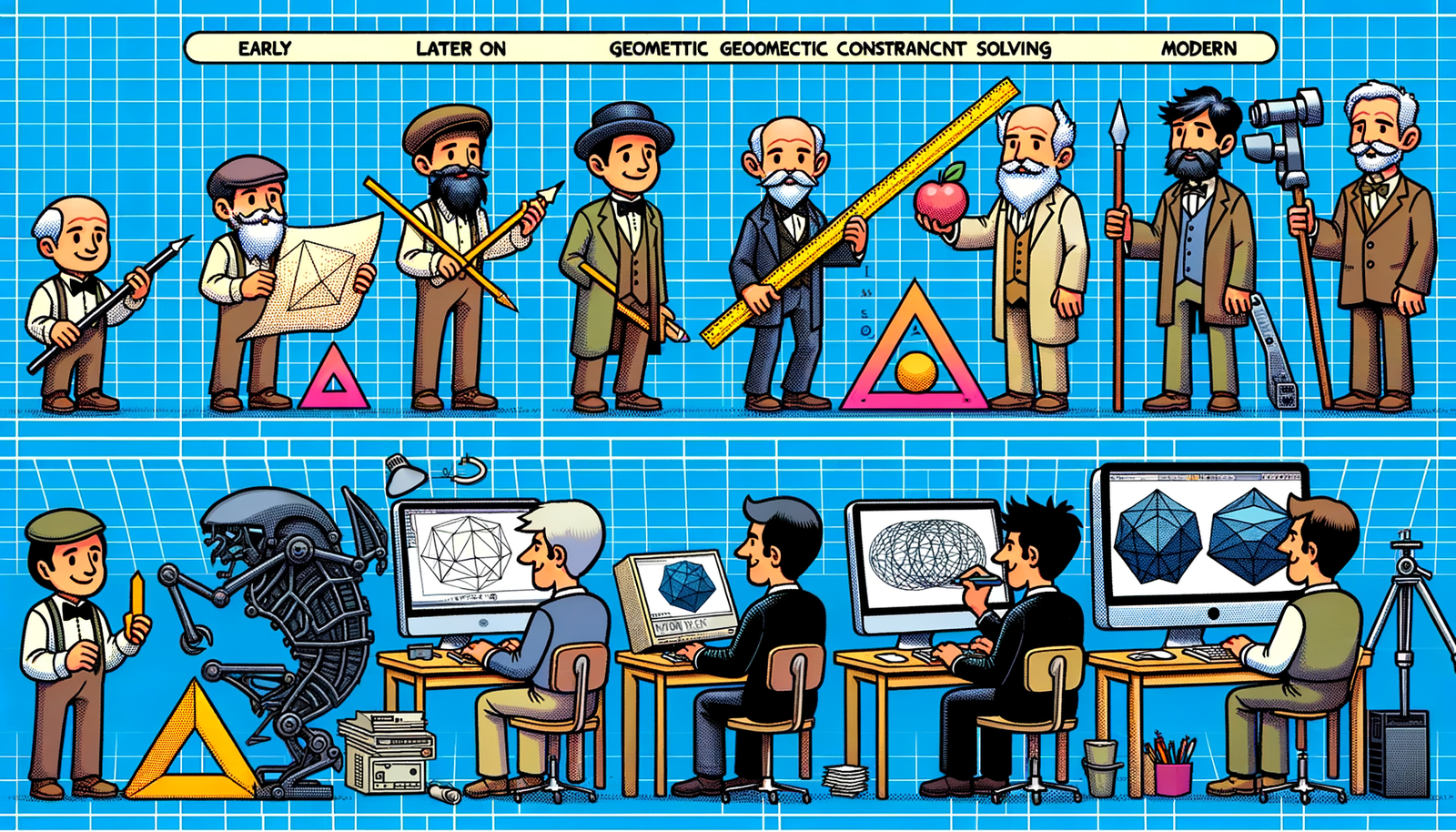
Design Software History: Evolution and Impact of Geometric Constraint Solving in CAD History
December 02, 2024 2 min read
Read More
Rhino 3D Tip: Enhancing Scale Modeling Accuracy in Rhino 3D: Essential Tips for Designers and Engineers
December 02, 2024 2 min read
Read MoreSubscribe
Sign up to get the latest on sales, new releases and more …


