
Your Cart is Empty


Connected survey workflow for terrain analysis│BricsCAD V26.2 Demo

Video From YouTube: Octave BricsCAD
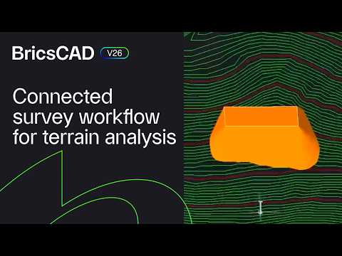
Graebert presents a clear demonstration of connected survey workflows for terrain analysis using BricsCAD V26.2. Exporting GIS data shouldn't require deep GIS expertise; the workflow is guided, safe, and accessible. Rita Carone demonstrates how raw elevation data is transformed into an editable TIN surface within BricsCAD, then converted back to a DEM suitable for GIS analysis. The demo highlights streamlined data handling, editing tools, and interoperability that reduce manual processing and errors. Ideal for surveyors and GIS professionals seeking efficient surface modeling and export routines, the presentation emphasizes reproducible, accurate terrain preparation for downstream analysis. Workflow increases productivity and collaboration.
If you like this content please subscribe to the Bricsys YouTube Channel

Browse Bricsys Products
Professional, familiar DWG‐based 2D & 3D CAD
Also in Design News