Your Cart is Empty
Customer Testimonials
-
"Great customer service. The folks at Novedge were super helpful in navigating a somewhat complicated order including software upgrades and serial numbers in various stages of inactivity. They were friendly and helpful throughout the process.."
Ruben Ruckmark
"Quick & very helpful. We have been using Novedge for years and are very happy with their quick service when we need to make a purchase and excellent support resolving any issues."
Will Woodson
"Scott is the best. He reminds me about subscriptions dates, guides me in the correct direction for updates. He always responds promptly to me. He is literally the reason I continue to work with Novedge and will do so in the future."
Edward Mchugh
"Calvin Lok is “the man”. After my purchase of Sketchup 2021, he called me and provided step-by-step instructions to ease me through difficulties I was having with the setup of my new software."
Mike Borzage
AutoCAD Tip: Integrating Geographic Location Data for Real-World Precision in AutoCAD Drawings
May 09, 2024 2 min read

Enhance your AutoCAD projects by embedding real-world information using the Geographic Location feature. This tool allows you to set up a location in your drawing file by specifying the latitude and longitude, or by picking the location directly from a map. By adding geographic location data to your drawings, you can accurately display the project in its real-world context, which can be particularly useful for urban planning, landscape design, and environmental impact studies. Here's how to leverage the Geographic Location tool in AutoCAD:
- Access Geographic Location: Click on the 'Insert' tab, then select 'Set Location' from the 'Location' panel. Choose 'From Map' to define the location from an online maps service.
- Define the Location: In the 'Geographic Location - Define Location' dialog, you can search for a specific address or point of interest. Once you've found the desired location, add it to the map.
- Set the Coordinate System: AutoCAD will prompt you to choose a coordinate system appropriate for the location’s region. Ensure that you select the correct one to maintain accuracy in your drawing.
- Mark Position on Drawing: Specify a point in your drawing that corresponds to the location on the map. This will be the reference point for all geographic data.
- Insert Location Marker: AutoCAD inserts a marker that represents the geographic location. You can move this marker if needed to fine-tune the positioning.
- Use Geographic Data: With the location set, you can use the 'GEOGRAPHICLOCATION' command to view the geographic marker and the 'GEOMAP' command to display the online map imagery within your drawing.
- Reorient the Drawing: Align your drawing to the north direction as per the geographic location for a more precise orientation.
- Consider the Impact of Location: Utilize the geographic data to analyze sunlight, shadows, and environmental factors that could influence the design and presentation of your project.
Using Geographic Location in AutoCAD not only enables you to work with real-world context but also improves collaboration, as stakeholders can better understand the geographic relevance of your designs. Explore the comprehensive range of tools and plugins available at NOVEDGE to further enhance your AutoCAD experience.
Remember to always verify the accuracy of geographic data and make necessary adjustments to your drawings based on project specifications and local regulations. Integrating Geographic Location features into your workflow can significantly improve the quality and precision of your civil engineering, surveying, and architectural projects.
You can find all the AutoCAD products on the NOVEDGE web site at this page.
Also in Design News

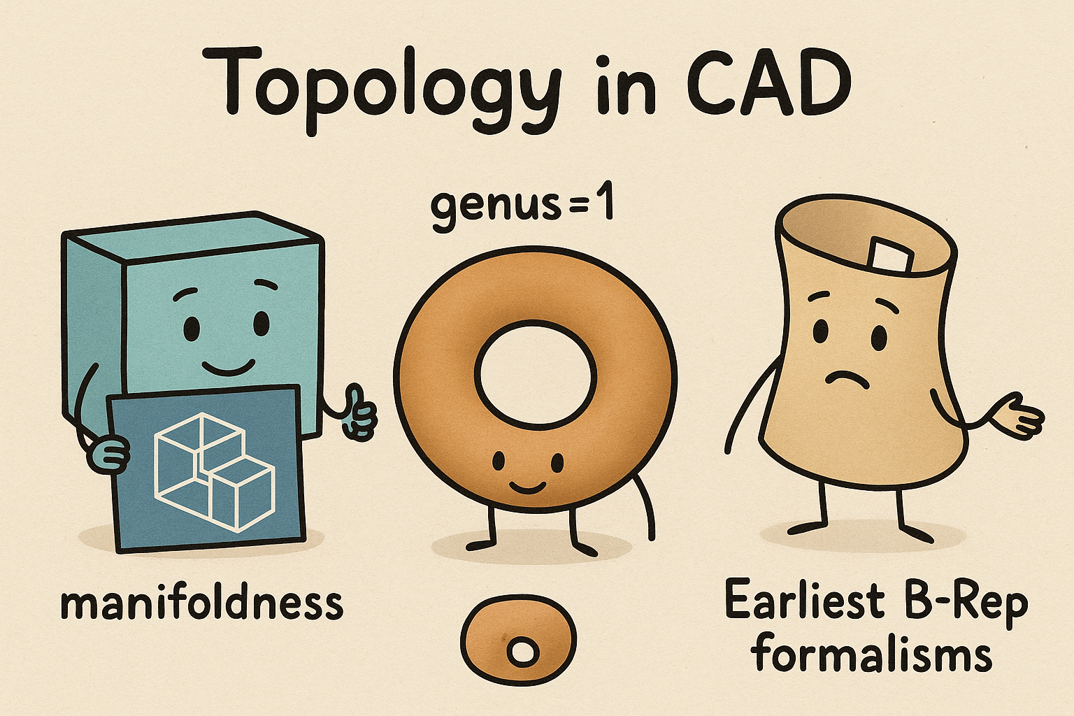
Design Software History: Topology in CAD: Manifoldness, Genus, and the Earliest B‑Rep Formalisms
January 02, 2026 14 min read
Read MoreSubscribe
Sign up to get the latest on sales, new releases and more …


